
")
")
")
")
")
Marles Wood (6 miles)
River walk (5.8 miles) past Marles Wood and back to Hurst Green
GPS MAP3103024
Start Walk: Click Here
Follow route using your GPS Position
Follow route using your GPS Position
MAP: Start GREEN dot → End RED dot
257
The Hobbit
AUDIO BOOK: Listen to The Hobbit as you walk. Wonderful BBC radio broadcast (1968).
PLAY

T-Shirt

T-Shirt

Beanie Hat

Beanie Hat
205
Shireburn Arms Hotel
Fireside Getaways
SPECIAL OFFER: click here
Fireside Getaways
SPECIAL OFFER: click here

Unisex Hoodie

Unisex Hoodie

Unisex Hoodie

Blanket Hoodie
52
The 3 Fishes (fine dining)
Award-winning chef Nigel Haworth
WINTER MENU: click here
Award-winning chef Nigel Haworth
WINTER MENU: click here

Trendy Scarf

Trendy Scarf

Baseball Hat

Hobbit Socks
10
Hurst Green ABC Memorial Hall
Weddings & Events
Enquiries: click here
Weddings & Events
Enquiries: click here

Backpack

Backpack

Gym Bag

Baby Grow
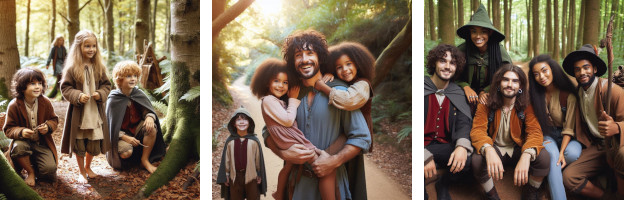
"FUN COSTUMES: LIVE THE TOLKIEN DREAM!"

Frodo Adult

Frodo Child

Frodo Wig

Legolas Adult

Legolas Child

Legolas Wig

Elf Female

Aragorn Adult

Aragorn Child

Aragorn Sword

Gandalf Adult

Gandalf Child

Wig & Beard

Glowing Staff

Cape Adult

Cape Child

Wizard Hat

Hobbit Feet

Elf Jewelry

Elf Ears

Goblin Mask

Snaga Mask

Gnome Mask

Book Set
Everything Tolkien (click links above)
Marles Wood (6 miles)
Every walk around Hurst Green has its own charm ... and Marles Wood is a favourite for many people! Start at the front door of the Shireburn Arms (near the road) and walk LEFT for 20 yards to Lambing Clough Lane. Follow this lane down to the new suspension bridge with stunning views as you 'float' over the River Ribble. Cross the bridge and turn left to walk the full 5.8 mile loop ... or if you prefer a shorter walk, turn right and follow the river into the woods and come back the same way when you reach Marles Wood Car Park.
(5.8 miles | 2½ hours)
Click button above to follow walks. You will need GPS LOCATION enabled.
Quick Links (1 - 16)
• Feed Ducks (1 Mile) » 814• St Peter's Club & Bar » 155
• Countryside Code » 134
• Marles Wood (6 miles) » 948
• Millie's Cafe » 372
• The Shire » 1113
• Forest Walk (2 Miles) » 3474
• Fell & River (13 Miles) » 2092
• Fell Walk (9 Miles) » 1604
• Tolkien Trail (7 miles) » 19729
• River Walk (5 Miles) » 6287
• Shireburn Arms » 567
• MAPS » 5007
• J R R Tolkien » 1172
• Eat - Drink - Be Merry » 982
• Tolkien Trail Walks » 1685


The Tolkien Trail © 2025
HURST GREEN, LANCASHIRE. BB79QP
the tolkien trail marles wood 6 miles hurst green ribble valley lancashire
Website by EZ1