
")
")
")
")
")
")
")
")
Fell & River (13 Miles)
Challenging long walk (13 miles) with stunning views!
GPS MAP3239682
Start Walk: Click Here
Follow route using your GPS Position
Follow route using your GPS Position
MAP: Start GREEN dot → End RED dot
257
The Hobbit
AUDIO BOOK: Listen to The Hobbit as you walk. Wonderful BBC radio broadcast (1968).
PLAY

T-Shirt

T-Shirt

Beanie Hat

Beanie Hat
205
Shireburn Arms Hotel
Fireside Getaways
SPECIAL OFFER: click here
Fireside Getaways
SPECIAL OFFER: click here

Unisex Hoodie

Unisex Hoodie

Unisex Hoodie

Blanket Hoodie
52
The 3 Fishes (fine dining)
Award-winning chef Nigel Haworth
WINTER MENU: click here
Award-winning chef Nigel Haworth
WINTER MENU: click here

Trendy Scarf

Trendy Scarf

Baseball Hat

Hobbit Socks
10
Hurst Green ABC Memorial Hall
Weddings & Events
Enquiries: click here
Weddings & Events
Enquiries: click here

Backpack

Backpack

Gym Bag

Baby Grow
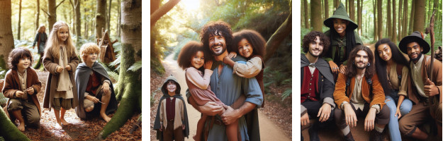
"FUN COSTUMES: LIVE THE TOLKIEN DREAM!"

Frodo Adult

Frodo Child

Frodo Wig

Legolas Adult

Legolas Child

Legolas Wig

Elf Female

Aragorn Adult

Aragorn Child

Aragorn Sword

Gandalf Adult

Gandalf Child

Wig & Beard

Glowing Staff

Cape Adult

Cape Child

Wizard Hat

Hobbit Feet

Elf Jewelry

Elf Ears

Goblin Mask

Snaga Mask

Gnome Mask

Book Set
Everything Tolkien (click links above)
Fell & River (13 Miles)
Ready for a Tolkien Trail challenge? This is one of the most dramatic walks in Lancashire taking you high up onto the fells above Hurst Green and then down along picturesque walks following the River Ribble, Calder and Hodder.
Bring good walking boots, thermos flask and snack to keep you fuelled along the way. There are many wonderful places you can picnic and take in the magnificent views overlooking Pendle Hill and beyond.
If this is your first visit we recommend using the GPS map (above) to help you navigate the right way, and not put a few extra miles onto an already long walk. Choose a good day as it can be pretty wild on the fells ... but there's no such thing as bad weather is there? ... just the wrong clothes!
Have fun.
Start/End Bayley Arms Car Park, Hurst Green
(13.1 miles | 4 hours)
Click button above to follow walk. You will need GPS LOCATION enabled.
Quick Links (1 - 16)
• Feed Ducks (1 Mile) » 814• St Peter's Club & Bar » 155
• Countryside Code » 134
• Marles Wood (6 miles) » 948
• Millie's Cafe » 372
• The Shire » 1113
• Forest Walk (2 Miles) » 3474
• Fell & River (13 Miles) » 2092
• Fell Walk (9 Miles) » 1604
• Tolkien Trail (7 miles) » 19729
• River Walk (5 Miles) » 6287
• Shireburn Arms » 567
• MAPS » 5007
• J R R Tolkien » 1172
• Eat - Drink - Be Merry » 982
• Tolkien Trail Walks » 1685


The Tolkien Trail © 2025
HURST GREEN, LANCASHIRE. BB79QP
the tolkien trail fell amp river 13 miles hurst green ribble valley lancashire
Website by EZ1